Previously: Yongma Land, South Korea.
To the northeast of Atlanta, not too far outside of the city proper, lies the city of Decatur, Georgia. It’s not a large city; as of the April 2020 census, it had a population of just shy of 25,000, compared to Atlanta’s nearly 500,000. But it’s got lots of green spaces and parks — and one of the most picturesque abandoned locations around: The ruins of the Decatur Waterworks.
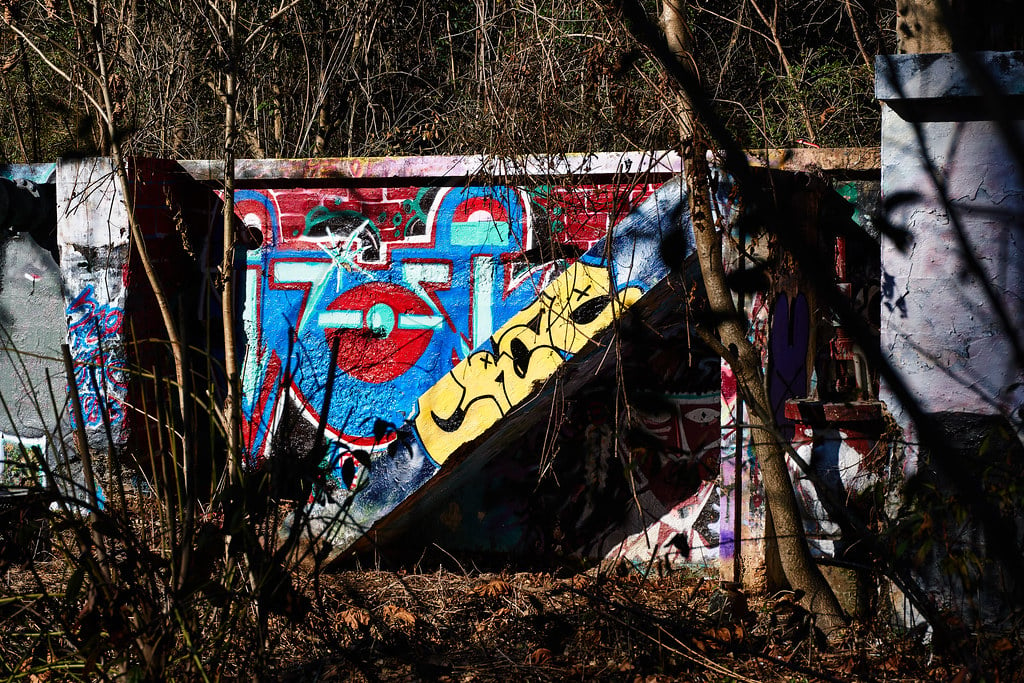
Even better? The Decatur Waterworks’ still-standing remnants are easy to visit; they’re right on a hiking trail connecting Medlock Park with Mason Mill Park.
[Like what you read? Check out Dangerous Games To Play In The Dark, available from Chronicle Books now!]
But before there were the waterworks, there was a mill, and before the mill, there was a creek. The creek in question, now called the South Fork of Peachtree Creek, had long served as a source of drinking water for Native populations living in the area — primarily Cherokee and Creek or Muskogee peoples.
After the land was stolen in the early 19th century and the Native populations decimated at the hands of white European colonizers, the creek and its offshoots would continue to serve that purpose for the colonizers who perpetrated the theft and destruction. And, by around the mid-19th century, at the point where the South Fork converges with what’s now called Burnt Fork Creek and a third creek that remains nameless, the running water would also be harnessed for another purpose: The power it could provide.
Sometime in the years prior to the Civil War, a large farm existed on this location. Run by Ezekial Mason, whose primary occupations in the 1840 federal census are listed as farmer and “furrier” — that is, a ferrier, or more commonly, a blacksmith — the farm also apparently had its own mill. This mill — Mason’s Mill, as it would later be known — was fueled by Burnt Fork Creek, with the clear, running water powering the mill’s wheel.
Ezekial Mason appears in the census until 1870, when he was 71 years old, but vanishes afterwards; as such, it’s believed this is roughly when he died. Records indicate that before his death, he transferred ownership of the mill to his wife; from there, it passed on to a J. A. Mason — sometimes identified as James A. Mason — who may or may not have been related.
The history of Mason’s Mill, however, is somewhat muddy. Much remains it and its operators, including who the second Mason was, precisely, how it passed from the first Mason’s widow to the second Mason, and even what exactly the mill actually produced. (It’s believed to have been flour, for what it’s worth, but again, we don’t really know for sure.)
There also seems to have been someone named Talley involved with the property at some point; even though notes at the DeKalb Historical Society indicate that the second Mason sold the land to the City of Decatur for the purposes of building the waterworks on the site, the paperwork submitted to the National Register of Historic Places also observes that City Council Minutes refer to the land as “the Talley property.” The paperwork also notes that, per the minutes, “the county exercised an option with C. H. Talley for the purchase of 160 acres of land in October 1906,” with Talley paying rent for said land during 1908. The mysterious Talley was also apparently tasked with removing the timber from the land by April 1, 1908.
In any event, though, the City of Decatur did eventually acquire the land, after which construction on the Decatur Waterworks began. The waterworks reached initial completion around 1907, at a cost of $46,517 — about $1.5 million today — although numerous expansions and renovations proceeded in the decades following, as well.
The Decatur Waterworks facility was in operation through the 1940s, processing and supplying water to the environs for about 40 years. At the height of its operation, it had a capacity of one million gallons. During its last few years, however, it functioned primarily as a backup facility; in 1939, fundraising efforts began in service of a larger waterworks to serve all of DeKalb County, and after the completion of the new facility in 1942, the old one was maintained as a “just in case” option.
During this time, the Decatur Waterworks also began to serve yet another purpose: That of a public park. As a Works Progress Administration project, the area around the waterworks saw improvements such as a picnic area with tables and stone fireplaces, granite benches, a decorative rock fountain, and a stone bridge offering access across Burnt Fork Creek.
The Decatur Waterworks saw yet another change in use throughout the Second World War, at which time it supplied water for the Naval Air Station — now Peachtree DeKalb Airport — and an army hospital. Its use as a backup system for the newer water treatment facility resumed after the war, although the park was closed to the public.
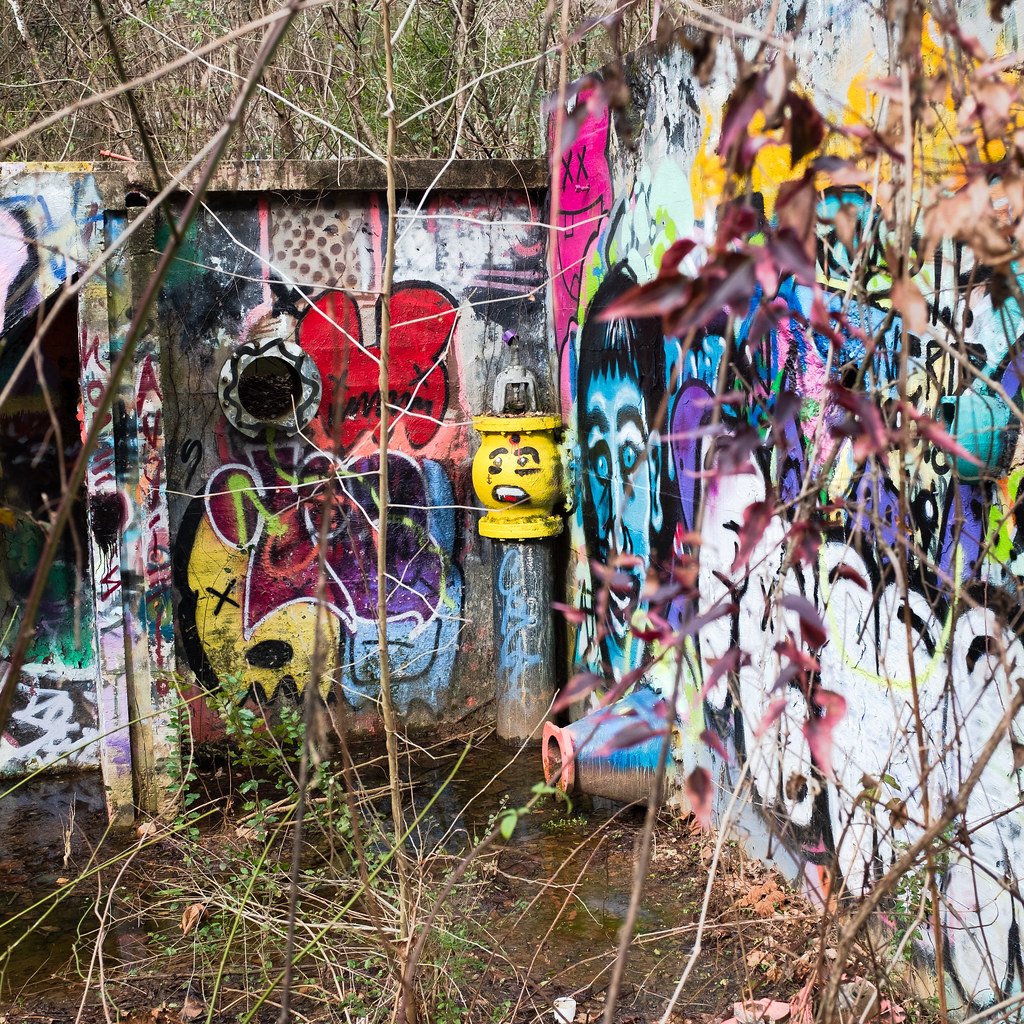
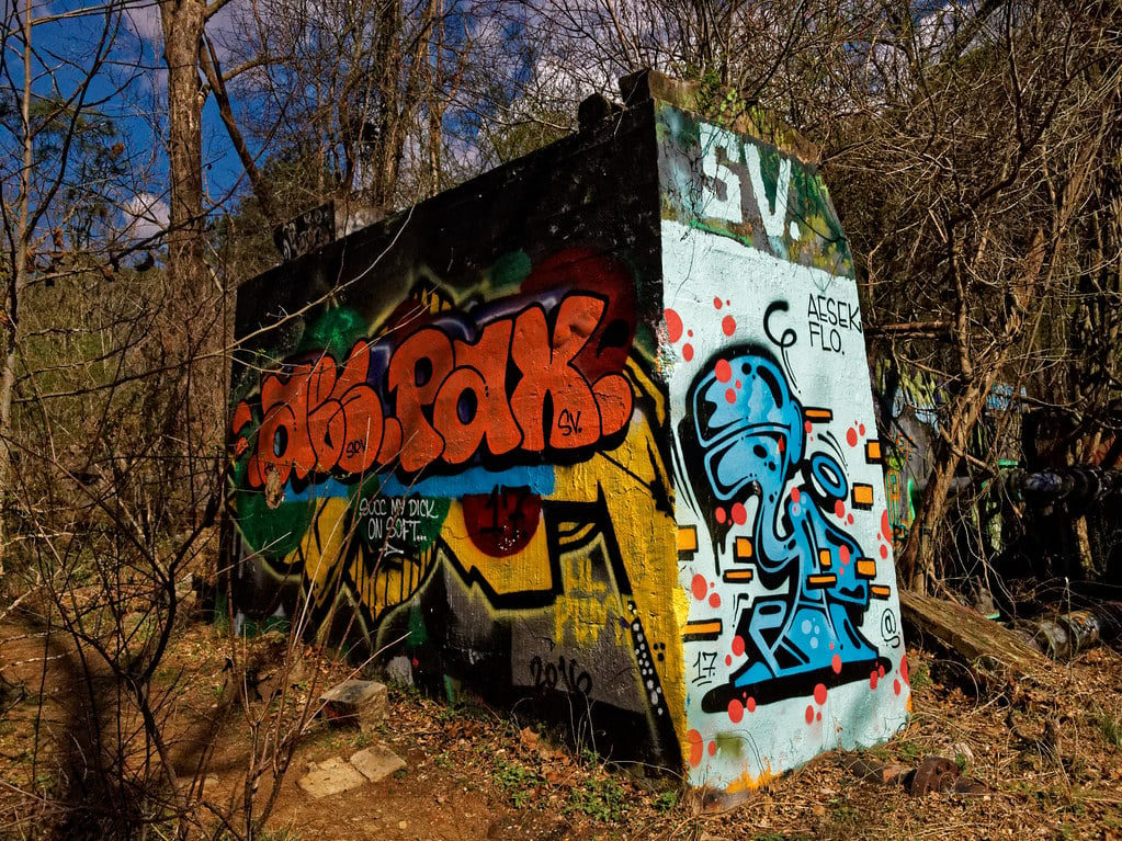
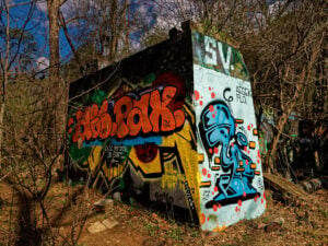
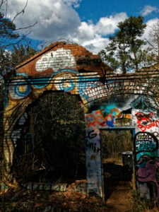
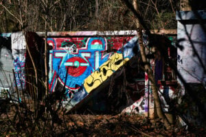
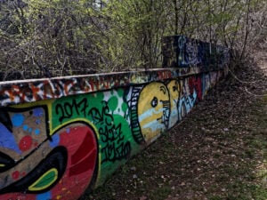
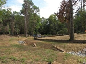
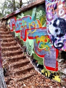
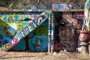
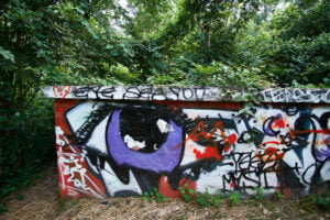
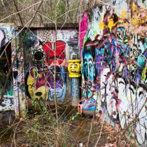
Once operations of the waterworks finally ceased for good, the entire area fell into disrepair. And, as is wont to happen, the remains of the facility gradually became a canvas for a vast array of colorful graffiti art — art which you can actually still go and see yourself, both legally and safely: The now bold and bright ruins of the Decatur Waterworks are located directly on a hiking trail that runs between Medlock Park and Mason Mill Park.
The Decatur Waterworks’ surviving bits and pieces were added to the National Register of Historic Places in 2006, at which time the site held remnants of a large concrete storage tank, a small concrete storage tank, an administrative building, two rectangular settling tanks, a water tower, a pump house, outfall for water pumped from South Peachtree Creek into the Burnt Fork Creek reservoir, and two dams — one on Burnt Fork Creek and one on South Peachtree Creek. Most of these remnants were constructed before 1928, although some, like the administrative building and the Burnt Fork Creek dam, have been dated to 1907, while others, like one of the settling tanks and the pumphouse, are only known to have been constructed prior to 1939.
All of these pieces may still be seen on the hiking trail today. Per the online hiking trail database and resource Hiking Project, you’ll want to start following the South Peachtree Creek Trail from Medlock Park. About three-quarters of a mile in, you can branch off to the Decatur Waterworks Connector Trail, which will bring you right the ruins. (You can view a map of the connector trail here. For what it’s worth, I’ve also seen reference to a Three Creeks Trail that swings through the waterworks remains, although it’s not clear to me if this is the same trail as the connector trail.)
It’s not a particularly strenuous hike — more like a nice walk in the woods on a mostly paved path. If you’re looking for a challenge, this may not be it; if you’re just looking to unwind a little, get out into nature, and see something cool while you’re at it, though, a trip to the abandoned Decatur Waterworks is perfect.
Abandoned doesn’t necessarily mean desolate — and we could all stand to get outside a bit more, right?
***
Follow The Ghost In My Machine on Bluesky @GhostMachine13.bsky.social, Twitter @GhostMachine13, and Facebook @TheGhostInMyMachine. And for more games, don’t forget to check out Dangerous Games To Play In The Dark, available now from Chronicle Books!
[Photos available under CC BY 2.0 DEED and CC BY-SA 2.0 DEED Creative Commons licenses; see individual photos for specific credits.]


Leave a Reply